Harbor-Hopping Lake Huron: Port Huron to the Straits
Roughly 235 miles of the emptiest big water on the Great Lakes, with a harbor every few hours. Here's how I run it when a delivery takes me north.

Captain Tom Ketelhut

Lake Huron is the quietest big water on the Great Lakes. Lake Michigan gets the crowds, Lake Erie gets the fishing pressure, and Huron's Michigan shore mostly gets left alone. That's a shame for the boaters who skip it and good news for the ones who don't. When a vessel delivery takes me north out of the St. Clair River, this is the run: roughly 235 statute miles from the Blue Water Bridge to the Straits of Mackinac, up a shoreline that was practically designed for making the trip in comfortable pieces.
I've written before about crossing Lake Huron and what the open water asks of you. This piece is the other version of the trip. Instead of pointing the bow across, you keep the Michigan shore on your port side and hop harbor to harbor, running three to five hours a day and sleeping in a different town every night.
Why this shore works
Michigan made a decision decades ago that pays off for every boater on this run. The state started building its harbor system in 1947, and the Michigan DNR now maintains 82 state-sponsored harbors along the Great Lakes. The stated goal of the program is that no boater should ever be more than 15 shoreline miles from safety.
On Lake Huron's west shore, that goal is real. From Port Huron to the Straits there's a protected harbor roughly every 20 to 25 miles. For trip planning, that changes everything. You're never committed to a long stretch with no exit, with one exception I'll get to. If the wind builds ahead of forecast, the next harbor is an hour or two up the shore. Few big-water passages anywhere give you that kind of margin.
The run at a glance, south to north.
The Thumb: Port Huron, Lexington, Port Sanilac, Harbor Beach, Port Austin.
The Saginaw Bay decision.
The Sunrise Coast: Tawas, Oscoda, Harrisville.
The north country: Alpena, Presque Isle, Rogers City.
The Straits: Cheboygan, Mackinaw City, and Mackinac Island.
The Thumb: Port Huron to Port Austin
The trip starts under the Blue Water Bridge, where the St. Clair River pours out of the lake. Plan your departure with the current in mind; the river runs hard here, and the first mile sets the tone for your crew.
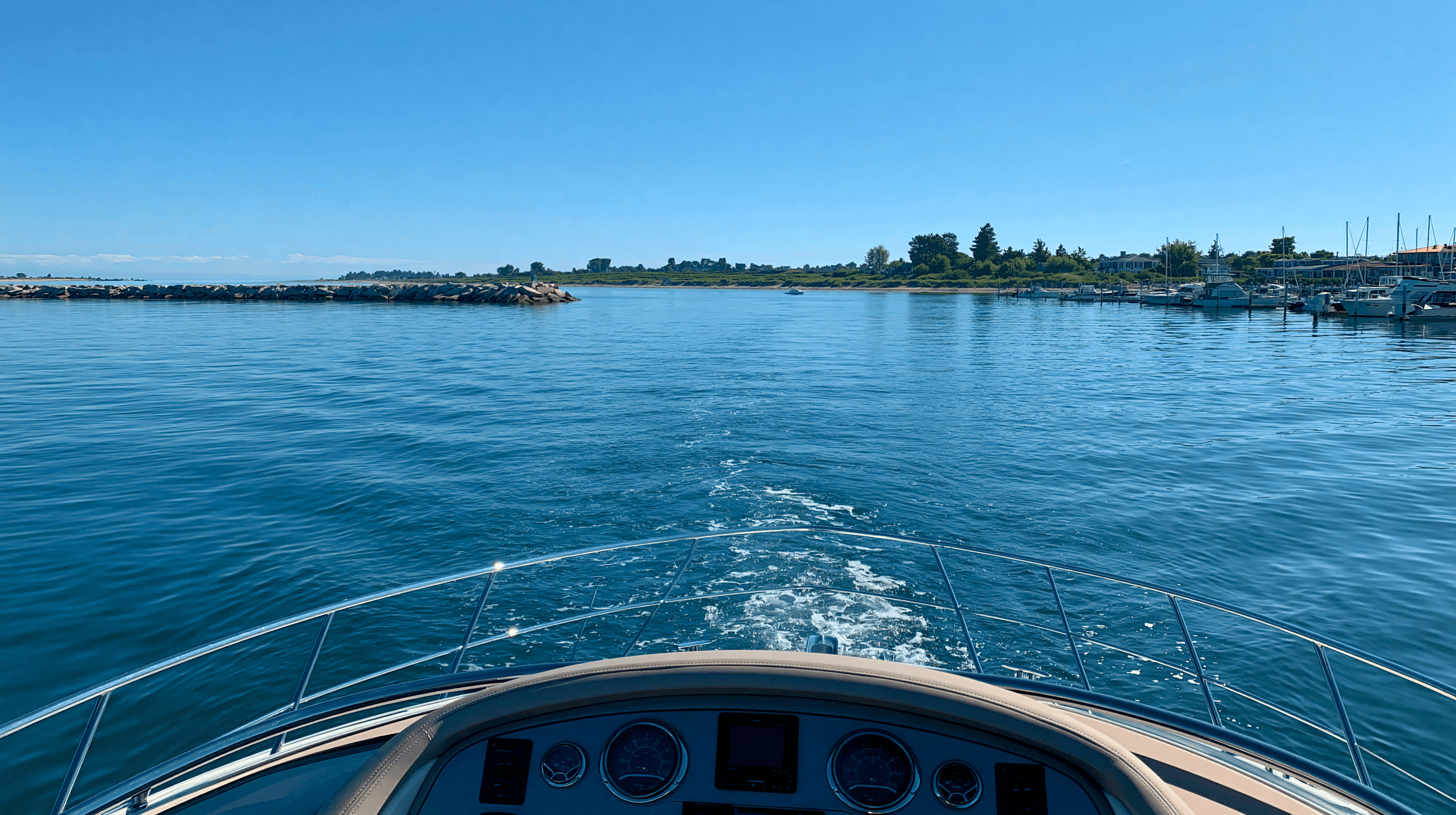
Once you clear the bridge, the Thumb unrolls in tidy segments. Lexington is the first stop, an easy shakedown leg that lets you check the boat and the crew before the water gets bigger. Port Sanilac comes next, and it has a piece of history worth knowing: it was the state's first harbor of refuge, built back in the 1950s when the marine highway was brand new. Harbor Beach sits behind one of the larger breakwaters on the lake. Port Austin, at the very tip of the Thumb, is where you stop and make the trip's one real strategic decision.
The Saginaw Bay decision
Saginaw Bay is the exception to the harbor-every-few-hours rhythm. The mouth of the bay is wide-open water, and you have two honest choices for getting past it.
The first is to cut across the mouth, Port Austin toward Tawas or beyond. It's the shortest path and the one I usually run on a delivery, but it's a committed leg. There's no bailout in the middle, so the forecast has to be right before you go, not hopeful.
The second is to work around the bay. It adds real distance, but it keeps you near shelter, and on a boat with a shorter comfortable range, or with a crew that's still finding its legs, that trade is often worth making. This is exactly the kind of call I walk owners through in trip planning for a multi-day Great Lakes run: the fastest route and the right route aren't always the same line.
Either way, check the open-water forecast before this leg, not just the nearshore report. NOAA publishes a dedicated open-lake forecast for Lake Huron, and it's the one I read first every morning on this trip. A detail I've always appreciated: the nearshore forecast zones on this shore are literally named for the harbor legs. Port Austin to Harbor Beach, Harbor Beach to Port Sanilac, Port Sanilac to Port Huron. The forecast is organized the way the trip is actually run.
The Sunrise Coast: Tawas to Harrisville
Once you're across the bay, the character of the trip changes. The water gets clearer, the towns get smaller, and the shoreline starts to feel like northern Michigan. Tawas sits in a protected hook of a bay and makes a natural first stop after the crossing. Oscoda, at the mouth of the AuSable River, comes next. Harrisville is the quiet one, a small state harbor and a town that hasn't changed much in decades, which is the point.
These are short, pleasant legs. If the Thumb is about making miles, the Sunrise Coast is where the trip starts to feel like a vacation. It's also where a good ship's log starts to earn its keep. Every harbor entrance on this shore has its own personality, and the notes you take northbound are the notes you'll want southbound.
The north country: Alpena to Rogers City
North of Harrisville, the lake gets serious in the best way. Alpena is the biggest town on this stretch and sits on Thunder Bay, home to a national marine sanctuary protecting one of the densest collections of shipwrecks in the Great Lakes. It's a working town with real services, the right place to top off fuel, provisions, and anything the boat needs.
Presque Isle is next, a mostly undeveloped peninsula with a state harbor and not much else, which is exactly its appeal. Rogers City follows. By now you're watching freighter traffic regularly; the shipping lanes converge as you approach the Straits, and the right-of-way rules stop being theory. Give the big boats their room. They're working; you're not.
The Straits: Cheboygan to Mackinac
Cheboygan is the last mainland stop before the Straits, sitting at the mouth of its river with a marina in easy reach of town. From there it's a short run to the finish, and you'll see the Mackinac Bridge long before you reach it. Whether you end the trip at Mackinaw City or take the last few miles out to Mackinac Island is a matter of taste. The island harbor in July is a busy, happy circus. After 235 miles, you've earned the fudge.
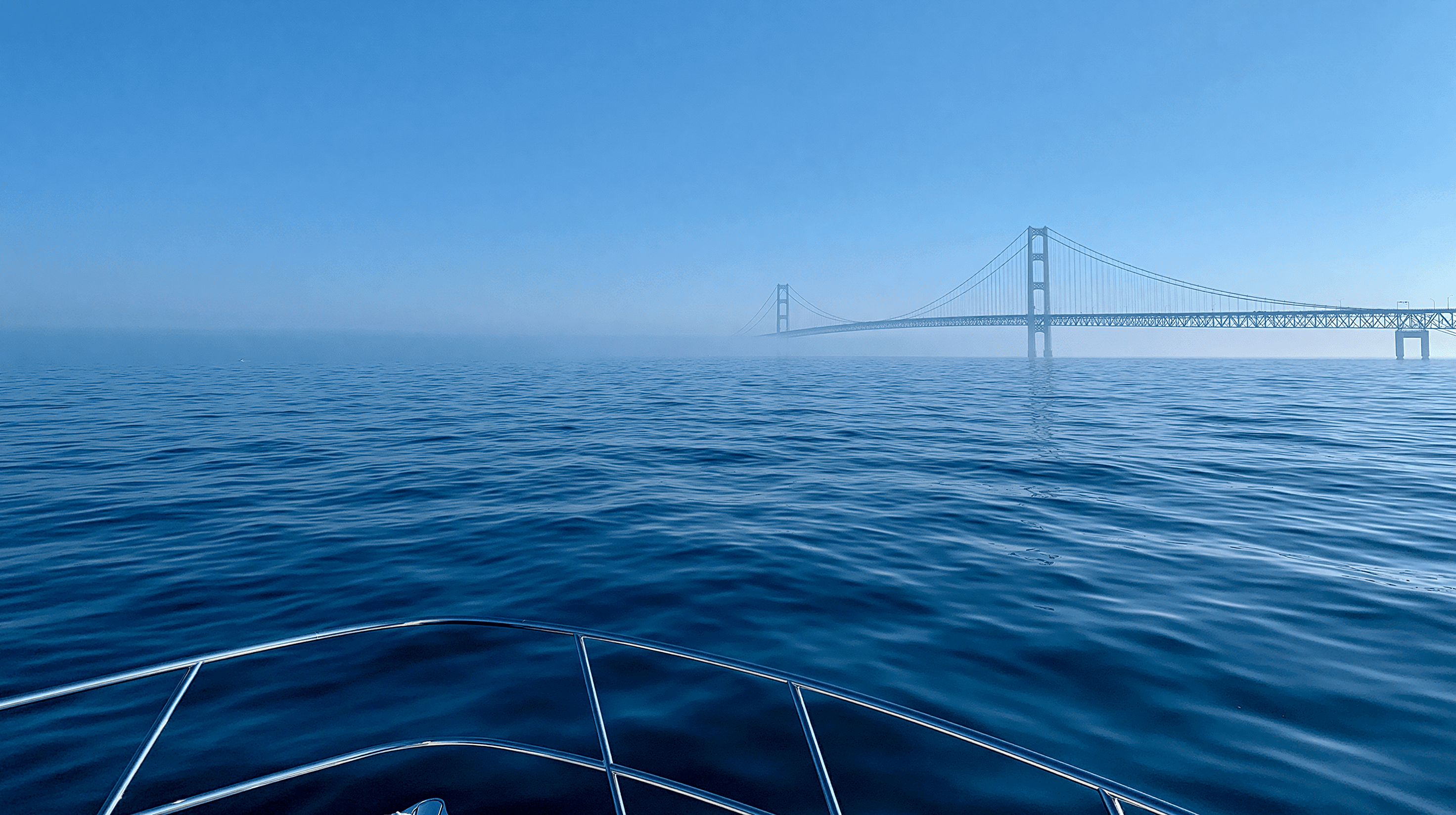
Watch the current through the Straits. Water moves between Lake Huron and Lake Michigan with the wind and pressure, and the approach can be pushier than the chart suggests.
How I actually plan it
On a delivery I'll run this shore in three to four days. With an owner aboard who wants to enjoy the trip, five to seven days is the right number, and I plan it the same way every time. Legs of three to five hours. The open-lake forecast before coffee. A float plan filed with someone on shore. And a standing rule that any leg can be cancelled at the dock without discussion. The harbor system means you're never forced to push; the only reason boaters get caught out on this shore is a schedule they refused to bend.
If a Lake Huron trip is on your list, whether you want a captain to run it, teach it, or just help you plan it, that's the kind of thing a quick call sorts out. Get in touch and we'll talk through the route.
WRITTEN BY
Captain Tom Ketelhut
USCG Master since 2009: 100 GT Great Lakes, 50 GT Near Coastal. Home port Grosse Ile, Michigan; deliveries and coaching from Lake Erie to Lake Huron, and in Florida.
WHERE TO NEXT
Keep going
More from Lake Huron

More on Voyages · next unread
The Great Loop: A Great Lakes Captain's Reference Guide
Read Next →

Okeechobee Waterway Crossing: Lake Level, Locks and Bridges
Read Next →

Running the ICW North from Florida: Route and Timing
Read Next →

The Big Bend Crossing: Carrabelle to Tarpon Springs
Read Next →

Keeping a Boat in Algonac: The Town That Built the Boats Now Guards the Delta
Read Next →

Keeping a Boat in Wyandotte: The Working Waterfront at the Head of the Trenton Channel
Read Next →
THE SERVICE THAT HELPS
Delivery, coaching and First Mate training on Lake Huron.
