Boating in Florida vs. the Great Lakes: What Changes at the Helm
Your boat doesn't change when it goes south. The water does. What a Great Lakes boater has to relearn in Florida, from tides and inlet currents to manatee zones.

Boating in Florida vs. the Great Lakes comes down to one difference: Florida water moves. It rises and falls with the tide, and it runs through the inlets one way and then the other. Add bridges that open on their own schedule and speed zones for an animal you may never see, and that's most of what a Great Lakes boater has to relearn.
The rest comes south with you, whether the boat ran down the waterway or rode a truck. If you can put a 40-footer in a slip on the Detroit River with the wind on the beam, you can do it in Fort Lauderdale. What catches Great Lakes boaters in Florida usually isn't boat handling. It's the water doing things lake water doesn't do, on a schedule nobody mentioned.
The water goes up and down
The Great Lakes do have a tide. NOAA puts it at less than two inches, buried under what wind and air pressure do to the lakes. Lake Erie is known for seiches when a strong southwest wind pushes the water toward Buffalo, and if you keep a boat at the west end, you've watched the water leave with it.
Florida's tide is the real thing, and how much it moves depends on where you are. The average range is about six feet at Fernandina Beach, up by the Georgia line, and a little over one foot at Key West. The Atlantic side gets two highs and two lows a day, and parts of the Gulf coast, like the Panhandle, get just one of each.
The chart is where this bites. On a Great Lakes chart, depths are measured from low water datum, a level NOAA describes as so low the water will seldom fall below it. Most days the water sits above that level, so you usually have more than the chart shows. Florida charts measure from mean lower low water, an average of each day's lowest tide, and the Coast Pilot warns that actual tide levels can run appreciably lower than predicted. On a big low tide with the wind blowing the water out, a spot that shows five feet on the chart can have a lot less in it.
So check the tide before you leave the dock, before you anchor and before you head anywhere skinny. Make sure your chartplotter has Florida charts with the tide and current stations loaded. A Great Lakes chart card won't have them.
The current turns around
If you've run the St. Clair River, you know what current can do to a boat. But a river runs one way. Tidal current floods in, goes slack and ebbs back out, and in the inlets and narrow cuts it can run hard in both directions.
Don't time the current off the tide table. NOAA publishes current predictions separately from tide predictions because the timing between the two is unique to each location. In some places slack water comes near high and low tide. In others, that's when the current runs hardest.
The inlets are where it matters most. When the current is ebbing against an onshore wind or swell, the seas stand up. A Coast Guard official, asked about Haulover Inlet near Miami, explained it this way: "When a tidal current's going against the waves, it forces the waves to be steep and more dangerous; they're closer together." The fix is to wait for slack water or the flood, timed from that inlet's current predictions, and if it still looks bad, stay inside. An inlet that was flat at breakfast can be a mess after lunch, and the only thing that changed was the current.
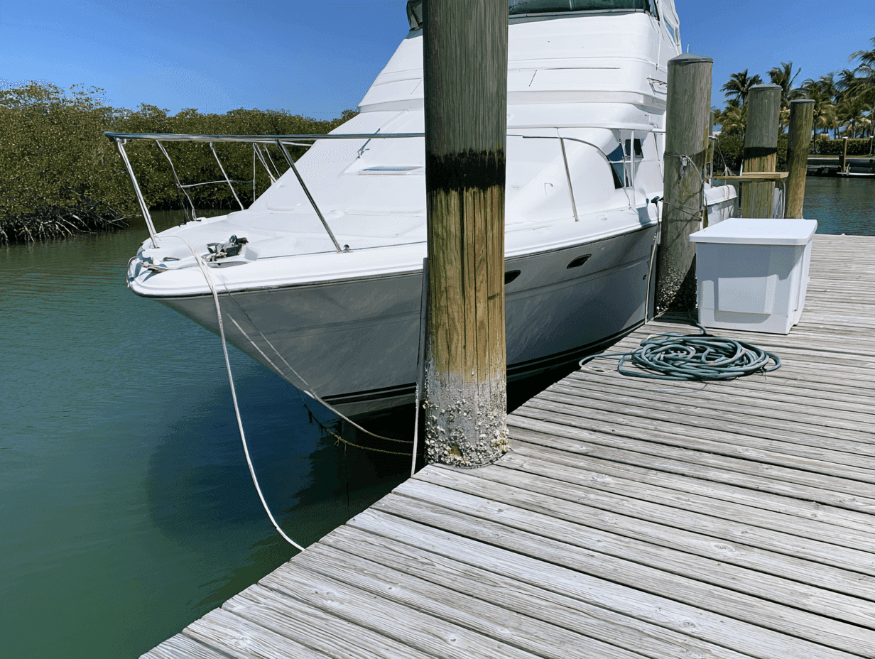
Current changes docking, too. In many Florida marinas the current runs through the fairways and across the slips, and it may be running the other way when you come back in the afternoon. Watch the water moving past the pilings before you commit, and when you have the choice, put the bow into it. It's the same read of the current I cover in how to dock a boat with confidence, with one more variable: the clock.
The bridges open when they're ready
If you keep your boat on the Trenton Channel, you already know how this works. The Grosse Ile Toll Bridge opens for pleasure boats on the hour and half-hour during the day. Florida's Intracoastal Waterway is that, bridge after bridge. Some open on request and plenty don't. Under the federal drawbridge rules, the Bridge of Lions in St. Augustine opens on the hour and half-hour from 7 a.m. to 6 p.m., and on weekdays, except federal holidays, it skips the 8 a.m., noon and 5 p.m. openings.
Use the radio. Florida bridge tenders generally work VHF channel 9, but check the listing for each bridge on your route before you go. Call the bridge by name, then give your boat's name and which way you're headed.
Know your air draft, measured from the waterline to the highest thing on the boat, with the antennas where they'll be when you go under. The clearance printed on the chart is measured from mean high water, per the same Coast Pilot, and that's an average, so a big high tide leaves you less. Where a bridge has a clearance gauge, usually a board of numbers on the right-hand pier, it shows the actual clearance at the lowest point over the channel. Read it on the way in.
Then plan the wait. Holding a 45-footer in place while the current sets you toward a closed bridge is real boat handling. At the Bridge of Lions, the Coast Pilot warns that the ebb runs at right angles to the bridge and that boats have hit it after losing control in the current. Hang back well up-current. If the current is carrying you toward the span, turn and hold with the bow into it, stay in the channel on your own side, and don't start through until the span is fully open.
Manatee zones mean slower than you think
Michigan has no-wake zones. Florida has those, plus manatee protection zones, and the words on the signs mean specific things. Idle speed is no faster than you need to keep steerage and headway. Slow speed means the boat is fully off plane and completely settled in the water. If the bow is even slightly up, you're not at slow speed.
That second one catches bigger boats. Many 40- and 50-foot cruisers push a big bow wave well below planing speed, and on those boats slow speed is barely above idle.
Some zones change with the season, and the season is snowbird season. On FWC's Palm Beach County zone map, some zones go to idle speed or slow speed from November 15 through March 31. The signs carry the dates.
FWC's advice for boaters is practical: wear polarized sunglasses, stay in the deeper channels, and watch for the swirl a manatee leaves on the surface when it dives. If you hit one, report it to the FWC Wildlife Alert Hotline at 888-404-FWCC (3922).
The markers carry a second system
You grew up on red right returning. On the Intracoastal, the markers also carry a small yellow triangle or square, and while you're on the ICW, that's the part to follow. Heading south down the Atlantic side, west across the Okeechobee Waterway, or north up Florida's Gulf coast and west along the Panhandle, you keep yellow triangles to starboard and yellow squares to port, regardless of the aid's number, color, or light color. Where the ICW runs through an inlet channel, that means a green can with a yellow triangle stays on your right going south. Headed the other way, reverse it. Leave the ICW for an inlet or a side channel and you're back to colors and shapes.
Put the tide in your anchoring math
The scope rule doesn't change. BoatUS recommends 7:1, measured from your bow to the bottom, and the rest of the routine is in setting anchor without drifting. What's new is that the distance from your bow to the bottom changes while you sleep.
So figure scope for high tide. Say you anchor at low tide in 8 feet of water, the tide there runs 3 feet, and your bow roller sits 5 feet above the water. At high tide your bow is 16 feet above the bottom, and 7:1 is 112 feet of rode. Work it off the low-tide depth and you'd put out 91 feet, which is under 6:1 once the tide comes in. If you anchor near high tide, run it the other way: subtract the range and make sure there's enough water everywhere the boat can swing at low tide.
Plan the swing, too. When the current reverses, the boat turns to face it, and an anchor that dug in pulling one way gets pulled from the other. Give yourself room for the full circle, and check the set after the current turns.
And watch where you drop it. Florida law bars anchoring where your boat, anywhere in its swing, comes within 150 feet of a marina, boat ramp, boatyard or launching facility, or within 300 feet of the edge of a public mooring field, outside of emergencies. A few spots in Fort Lauderdale and around Miami Beach, including Sunset Lake, ban anchoring overnight.
Before your first Florida run.
Tide times and heights for where you're going.
Current predictions for every inlet and cut on the route.
Your air draft, measured, and the bridge schedules along the way.
The VHF channel for each bridge, usually 9.
The manatee zones on your route, and the dates on the signs.
Scope figured for high tide.
Learn it on the way down
The boat is the same boat. The water isn't, and the fastest way to learn it is with someone aboard who already knows it. That's what an owner-assisted delivery is for: you run your own boat south, and by the time you reach Florida you've read the tide tables, called the bridges and docked in current enough times that it stops being new. If the boat's already there, a few hours of coaching on your own boat, on your new water, covers the same ground in a smaller dose.
Either way, it starts with a quick call about where the boat is going and what you want to be comfortable doing when it gets there.